Hvalfjörður, Seven Minutes Under It or an Hour Around It, and Whether the Hour Is Worth One of Your Days
The Hvalfjörður Tunnel saves 45 minutes but skips the entire fjord. Here is what Route 47 offers and whether the hour around is worth one of your days.
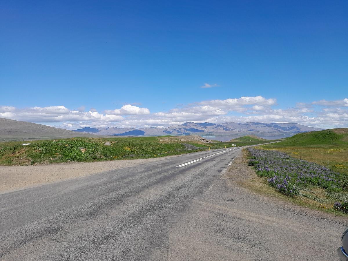

The single most useful fact about Hvalfjörður is this: the tunnel that most people take to get from the capital to the west of Iceland bypasses the entire fjord. The Hvalfjörður Tunnel, called Hvalfjarðargöng, is a 5,770 metre undersea route that takes about seven minutes. Route 47, the old road around the fjord, takes about an hour without stops. The tunnel saves you 45 minutes. It also saves you the fjord itself. The question is whether Hvalfjörður is worth one of your Iceland days, or whether the tunnel is the right place for it to stay. Getting here without a car works, as long as you plan around the one useful bus.
Hvalfjörður Road Trip: What You Actually Drive
Route 47 runs roughly 60 kilometres around the edge of Hvalfjörður. It is a narrow, winding two lane road with gravel sections, single lane bridges, and no shoulder on some stretches. You will share it with fewer than 500 vehicles per day. The speed limit is 90 km/h on open sections and 50 km/h past the small cluster at Saurbær. There is no fuel station on the route. There is no grocery store. There is no café. Bring everything you need from Akranes or Borgarnes before you turn off Route 1.
The drive itself is raw. The western shore is exposed to the wind with no windbreaks. Gusts over 35 m/s have been recorded in winter. In summer the weather can turn from clear to rain and wind faster than the forecast suggests. The road surface is paved but narrow, and the single lane bridges require you to give way if you are heading northbound. This is not a scenic drive you can do on autopilot. It demands attention, and that is part of what makes it worth doing.
What You See Along the Way
From the road you see the fjord itself, deep and dark, with steep mountains on both sides. You see the Grundartangi aluminium smelter on the far shore, a stark industrial complex that surprises visitors expecting pure wilderness. You see the Hvalstöðin whaling station, abandoned since 1989, with rusting oil tanks, a concrete slipway, and collapsed roofs visible from the road. It is fenced off and not open to the public, but you can stop at the pull off and look. The whaling station is controversial. It is also part of what this fjord is. If industrial scenery mixed with nature bothers you, skip Route 47 and take the tunnel.
Further along you reach Miðsandur, a flat gravelly shore with long views and birdlife at low tide. Arctic terns, eiders, and fulmars work the flats. The Hvítanes pull off has space for about ten cars and a short path to the shore where harbour seals and grey seals haul out, 20 to 80 of them depending on the tide. Low tide is the best time. There are no facilities at Hvítanes. You park on gravel, walk to the shore, watch the seals, and leave.
Hvalfjörður Tunnel vs Route 47: the Real Difference
The Hvalfjörður Tunnel is toll free since September 2018. It is a two lane tunnel with full lighting, longitudinal fans, emergency lay bys every 500 metres, and a speed limit of 70 km/h. It carries about 5,500 to 6,000 vehicles per day. It takes seven minutes. It connects the capital to the west of Iceland without the driver ever seeing the fjord.
Route 47 carries under 500 vehicles per day. It takes about an hour of driving. It gives you the whaling station, the war ruins, the seal haul out, the bird flats, the hot springs at Hvammsvík, the Glymur trailhead, the Þyrill hike, the Saurbæjarkirkja church from 1857, the Ferstikla WWII bunkers, and the sheer scale of a fjord that most visitors never look at. The trade is 45 minutes against all of that.
When to Take Each Road
Here is the honest caveat: if you are on a tight Golden Circle schedule, skip Route 47. The Golden Circle is a full day on its own. Adding an hour of narrow road driving plus stops turns it into a long day with a late return to the city. If you are based in the capital or Borgarnes and have a half day to spare, take Route 47. If you are driving from the capital to Snæfellsnes and you have not seen Hvalfjörður before, take Route 47. If you are driving that same route for the third time and just want to get to the peninsula, take the tunnel. The tunnel is not wrong. It is just the faster way to somewhere else.
Is Hvalfjörður Worth Visiting?
Hvalfjörður is worth visiting if you want a quiet alternative to the Golden Circle. It is worth visiting if you are a hiker or trail runner looking for empty routes near the city. It is worth visiting if you care about WWII history and want to see the remains of the Allied naval base that assembled over 200 Arctic convoys between 1941 and 1945, with about 20,000 troops stationed here at its height. The War and Peace Museum covers this history, though its hours are seasonal and you should check before you go.
Hvalfjörður is not worth visiting if you expect a village with cafés and services. There is no real town centre. The nearest reliable meals are in Akranes, 10 kilometres from the tunnel north exit, or Borgarnes, 40 kilometres further. It is not worth visiting if you dislike industrial scenery mixed with nature. The aluminium smelter and the whaling station are part of the view. It is not worth visiting if you have only a few hours and no car. There is no direct public bus into the fjord. Strætó bus 57 from the capital to Borgarnes passes the tunnel entrance but does not stop inside the fjord.
Who Should Skip It Entirely
Cruise passengers with a few hours in port should skip Hvalfjörður. Visitors without a car should skip it. Anyone on a tight schedule who is not specifically interested in WWII history, uncrowded hiking, or industrial landscape photography should skip it. The Golden Circle, Snæfellsnes, and the Reykjanes Peninsula all offer more for the same driving time.
Hvalfjörður Waterfalls: More Than Glymur
Glymur is the headline, at 198 metres the second tallest waterfall in Iceland. The trailhead is at Botnsdalur, at the head of the fjord. The round trip is about 7 kilometres with 350 to 400 metres of elevation gain. The trail crosses the Botnsá river via a log bridge that is placed in summer and removed in autumn. When the log is absent, the crossing is a cold, knee deep or higher wade through a glacial river. The trail is marked with painted stakes and cairns, not continuously. Rescue incidents are recorded annually by ICE SAR, most involving the river crossing or fog. Check SafeTravel.is before you go. The trail is best in July and August.
Smaller Falls Worth Stopping For
But Glymur is not the only waterfall on this route. The Litla Botnsá canyon near the Glymur trailhead has a narrow gorge and a series of smaller falls. The Botnsá river itself runs powerful below the main drop. The fjord's steep sides mean that after rain, temporary waterfalls appear all along Route 47, streaming down the rock faces for a day or two before drying up. None of these have names. None of them are in any guidebook. They are a reason to drive the old road slowly, with your windows down, listening for water.
| Route 47 (Fjord Road) | Hvalfjörður Tunnel | |
|---|---|---|
| Driving Time | About 60 minutes | About 7 minutes |
| Traffic Volume | Under 500 vehicles per day | 5,500 to 6,000 vehicles per day |
| Services On Route | None. No fuel, no food, no toilets except summer porta potty at Glymur trailhead | None. No stopping allowed inside tunnel |
| What You See | Fjord, waterfalls, whaling station, war ruins, seal haul out, bird flats, hot springs | Concrete walls and tunnel lights |
| Road Condition | Narrow, winding, gravel sections, single lane bridges, no shoulder in places | Two lanes, lit, ventilated, emergency lay bys every 500 m |
| Best For | Slow travellers, hikers, history buffs, photographers | Drivers in a hurry, repeat visitors, bad weather days |
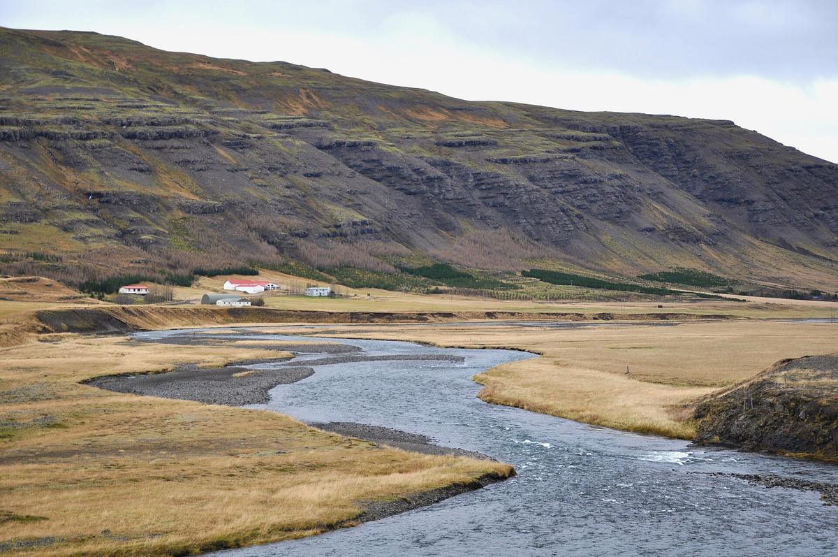

Practical Details for Driving Route 47
If you decide to take Route 47, here is what you need to know before you turn off Route 1. Fill your tank in Akranes or Mosfellsbær. There is no fuel station on the fjord road. Pack food and water. Pack a thermos. The nearest reliable meal is back in Akranes or Borgarnes. Download offline maps before you leave Route 1. Mobile signal is patchy on the inner fjord and dead in Botnsdalur near the Glymur trailhead. The tunnel has mobile coverage but no stopping.
Check road.is for current conditions on Route 47. The road is ploughed in winter but can be icy. Botnsdalsvegur, the gravel road to the Glymur trailhead, is typically closed from November to April. Check SafeTravel.is for trail conditions at Glymur. The log bridge status changes annually and is maintained by local landowners. Do not attempt the Glymur trail when the log is absent unless you are prepared for a cold river crossing in current you cannot control.
Driving the Loop Without the Tunnel
The Hvalfjörður Tunnel is free. There is no toll booth. If you take the tunnel one way and Route 47 the other, you pay nothing for the tunnel. That is a good way to see the fjord without committing to the full loop. Drive Route 47 south to north, then take the tunnel back to the city. That gives you the views and the time savings on the return.
What Else is on Route 47
Beyond the main attractions, Route 47 holds several smaller stops worth your time. Saurbæjarkirkja is a church from 1857, with a turf roof adjacent structure and an active graveyard with stones dating to the 1800s. The church is Evangelical Lutheran and holds services monthly or less. The interior is open by arrangement or during services. It is a quiet stop, not a destination.
Ferstikla is a rocky headland with concrete bunkers and gun emplacements from the WWII naval base. The ruins are accessible from the road. They are deteriorating, not maintained, and that is part of their power. You stand where convoy lookouts stood, watching the same dark water. Hvalfjarðareyri is an old trading post site with foundations visible near the shore. It is a quiet shoreline walk, not a marked attraction.
Hikes and Hot Springs
Þyrill is a 388 metre mountain on the east side of the fjord with a marked hiking route from near Litla Sandvík. The round trip takes two to three hours. The trail is marked with cairns only, and the east face has a steep drop. The view from the top, on a clear day, takes in the entire fjord. This is for hikers who want a shorter option than Glymur and are comfortable with intermittent trail marking.
Hvammsvík Hot Springs is a geothermal pool complex on the fjord shore. It requires booking. It has a bistro. It is a deliberate stop, not a spontaneous one. If you want to soak with a view of the fjord, book ahead. If you just want a quick look, you can see the pools from the road.
One Honest Caveat
Hvalfjörður is not a perfect day. The industrial scenery is real. The whaling station is ugly in a way that sticks with you. The lack of services means you carry everything you need. The weather can turn the drive into a slow, tense crawl. The Glymur trail is not a casual stroll. The single lane bridges require attention. The fjord does not reward the unprepared.
But it rewards the deliberate choice. If you decide to skip the tunnel and take Route 47, you are choosing the fjord itself over the convenience of bypassing it. You are choosing 45 extra minutes of driving in exchange for a place that almost no one sees. That is a trade worth making once. And if you make it, you will find that Hvalfjörður, for all its rough edges, is exactly as quiet as you hoped.
Common Questions
Can you drive Route 47 in winter?
Route 47 is ploughed in winter but can be icy. The speed limit is 90 km/h on open sections, but in winter you will drive slower. Wind gusts over 35 m/s have been recorded. The Botnsdalsvegur road to the Glymur trailhead is typically closed November to April. If you only want the drive itself, winter is possible with a 4WD and careful planning. If you want to hike or stop at the pull offs, summer is better.
Is the Hvalfjörður tunnel still tolled?
No. The tunnel has been toll free since 28 September 2018. There is no toll booth, no electronic payment required, and no pre registration needed for rental cars. You simply drive through.
Where do you eat on Route 47?
Nowhere. There are no restaurants, cafes, or grocery stores on Route 47. The nearest reliable meals are in Akranes, about 10 km from the tunnel north exit, or Borgarnes, about 40 km further. Hvammsvík Hot Springs has a bistro with simple Icelandic lamb and fish soup, but you need to book ahead. Pack a picnic.
How long does it take to drive around Hvalfjörður?
Route 47 is about 60 km long. Without stops, the drive takes about one hour. With stops at the whaling station overlook, Hvítanes seal haul out, Miðsandur bird flats, and the War and Peace Museum, budget two to three hours. If you also hike Glymur, budget a full day.
Can you see the northern lights in Hvalfjörður?
Yes. Hvalfjörður is a dark sky area within one hour of the capital. There are no streetlights on Route 47. The aurora season runs late August to mid April. You need a KP index of 3 or higher for visible aurora at this latitude. The inner fjord near Botnsdalur has very low light pollution.
Read next
-
 Icelandic Place Names: The Word-Parts That Decode the Map
Icelandic place names are compounds that describe the place. Learn twenty word-parts and most of the map explains itself.
Icelandic Place Names: The Word-Parts That Decode the Map
Icelandic place names are compounds that describe the place. Learn twenty word-parts and most of the map explains itself.
-
 Icelandic Road Signs: The Words You Need Before You Drive
Iceland signs its hazards in Icelandic. Six words matter more than the rest, and two of them appear on the Ring Road hourly.
Icelandic Road Signs: The Words You Need Before You Drive
Iceland signs its hazards in Icelandic. Six words matter more than the rest, and two of them appear on the Ring Road hourly.
-
 Icelandic Phrases for Travellers, and When They Actually Help
Everyone in Iceland speaks English, so phrases are courtesy rather than necessity. These are the ones that land well.
Icelandic Phrases for Travellers, and When They Actually Help
Everyone in Iceland speaks English, so phrases are courtesy rather than necessity. These are the ones that land well.
-
 The Icelandic Alphabet: Þ, Ð, Æ, Ö and How to Read Them
Icelandic has four letters English does not, and every road sign uses them. What they sound like, how to type them, and where to go next.
The Icelandic Alphabet: Þ, Ð, Æ, Ö and How to Read Them
Icelandic has four letters English does not, and every road sign uses them. What they sound like, how to type them, and where to go next.