A Traveller's Guide to North Iceland
How to route a North Iceland trip through Akureyri, Goðafoss, the Mývatn geothermal area, and Húsavík whale watching without wasted driving.
- Flag
-

- ISO code
- IS
- Currency
- ISK
- Timezone
- Atlantic/Reykjavik
Akureyri, Myvatn and the North’s Geothermal Loop
The problem is simple. You have seven days, you land in Keflavik, and every guide tells you to hammer the Ring Road clockwise, sleeping in a different guesthouse each night, seeing nothing but asphalt. Skip the southern crowds entirely and drive direct to Akureyri. The loop that connects Akureyri, Myvatn's geothermal chaos, Husavik, and Godafoss unfolds without a single backtrack.
Why North Iceland Instead of the South Coast
The south coast is a conveyor belt of waterfalls and tour buses. North Iceland receives roughly 20% of foreign visitors. That is not a failure. That is your advantage. Here the landscape is raw, lunar, and expensive in the way that demands you respect it. The wind rips car doors off hinges. The weather delivers four seasons in an hour. Once you leave Akureyri, very little stands between you and the elements.
This region is not for everyone. It is for solo road trippers, landscape photographers, geology nerds, and adventure motorcyclists. It is not for budget backpackers or nightlife seekers. If you need structured itineraries and indoor attractions, stay on the Golden Circle. If you want to stand in a pseudocrater field with no one else in sight, go north.
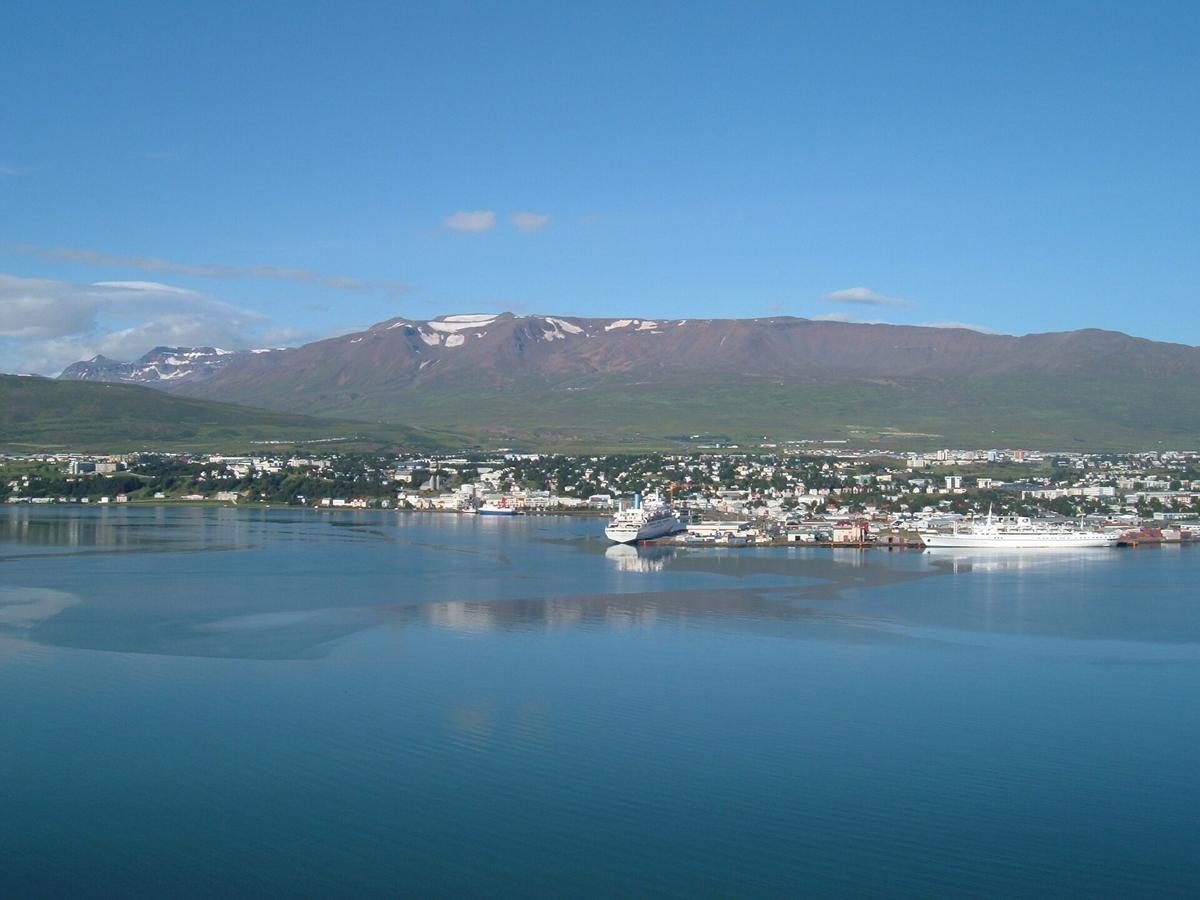

The Akureyri to Myvatn to Husavik Loop
Akureyri: Your Supply Base
Akureyri, population 19,893, is your supply base. It has the airport code AEY, one asphalt runway at 2,400 metres, and a Hlidarfjall ski slope with a vertical drop of roughly 500 metres and 6 lifts. That skiing is a rare non summer draw. In winter, daylight drops to about 3 hours in late December, and the average January temperature is -2.2 degrees Celsius. The slopes work because the lift infrastructure exists and the snow sticks. Do not expect Alpine convenience. Expect a mountain that feels like a local secret.
Godafoss and the Myvatn Basin
From Akureyri, drive Route 1 east for 45 minutes. Your first stop is Godafoss, the 12 metre high, 30 metre wide horseshoe falls on the Skjalfandafljot river. It is roadside and easy. Photograph it in the morning light, then move on. The falls act as the gateway to everything that follows.
Continue east into the Myvatn basin. This is where the landscape turns unhinged. The Myvatn pseudocrater field at Skutustadagigar contains roughly 50 craters formed by steam explosions when lava flowed over wetland. Dimmuborgir, covering about 2 square kilometres, is a collapsed lava tube and lava lake. Walk the marked paths. Do not wander off them. The basalt formations look like a fortress but the ground is unstable.
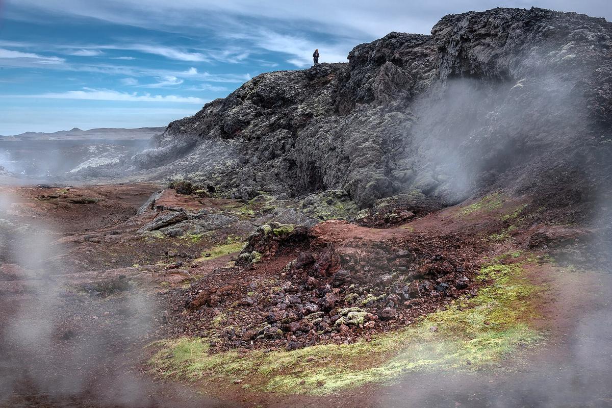
At the base of Namafjall mountain sits Hverir, a geothermal field where fumaroles hit 80 to 100 degrees Celsius. The ground is yellow, red, and boiling. The smell of sulphur is aggressive. You will smell it on your clothes for hours.
The Myvatn Nature Baths Decision
Skip the Blue Lagoon. It is crowded, expensive, and sits next to a power plant that feels industrial. The Myvatn Nature Baths opened in 2004, hold water at 36 to 40 degrees Celsius with a pH around 7.5, and look out over a lava field. Arrive by 09:00 in summer. The parking lot fills by 11:00. The water is softer than the Blue Lagoon and the crowd is a fraction of the size. This is the pragmatic alternative. You pay less, you wait less, and you see more.
The Decision Point: Husavik or Dettifoss
From Myvatn you face a choice. North takes you to Husavik for whale watching. East takes you to Dettifoss, Europe's most powerful waterfall by volume, with an average flow rate of 193 cubic metres per second, a height of 44 metres, and a width of 100 metres. The east side road is rough. The west side road is paved but offers a more distant view. Take the east side if you have a 4x4. Take the west side if you are in a standard car. Both require good weather.
Husavik, population roughly 2,500, runs its whale watching season from April to October, with peak sightings June through August. Species include humpback, blue, minke, white beaked dolphin, and harbour porpoise. Book a morning tour. The sea is calmer and the light is better. Budget 3 hours for the trip. Do not book through a third party. Book directly with the harbour operators. You save money and the boats leave on time.
The Diamond Circle: a Better Route Than the Full Ring Road
The Diamond Circle runs roughly 250 kilometres and connects Husavik, Asbyrgi, Dettifoss, Myvatn, and Godafoss. It is a loop. It takes one full day if you drive it without stopping for more than 15 minutes at each site. Take two days. Stay one night near Myvatn and one night in Husavik. That gives you time to walk Asbyrgi canyon, which is 3.5 kilometres long, 1.1 kilometres wide, and has cliffs up to 100 metres high. It is a horseshoe shaped canyon formed by catastrophic glacial flooding. You can walk the floor in an hour. The silence inside it is the point.
This loop replaces the need to drive the entire Ring Road in 5 or 6 days, which is the most common mistake travellers make. You end up spending every waking hour behind the wheel. You skip the detours that make Iceland worth visiting. The Diamond Circle gives you the density without the exhaustion.
Winter Driving Warnings
Do not attempt the loop in late December or January. Mountain roads close. The passes Oxnadalsheidi, Vikurskard, and Holtavorduheidi close subject to weather. Daylight is 4 to 5 hours. Severe storms routinely strand travellers. The Icelandic Road Administration information number is 1777. Call it before you drive anywhere in winter.
.jpg)
The One Thing to Do Now
Book your rental car. Reserve it for 7 days minimum. Choose a 4x4 if you plan to see Dettifoss from the east side. Download offline maps because 4G signal vanishes for hours outside towns. Buy a chip and PIN credit card for unmanned fuel pumps. The pumps do not accept magnetic stripe cards. That failure strands travellers every week. Do not let it strand you.
Places in North Iceland
More destinations in Iceland
What to See in North Iceland
-
 Lake Myvatn
A Mývatn day loop takes you from pseudocraters to boiling mud pots and ends at the geothermal nature baths, with fewer crowds than the Blue Lagoon.
Lake Myvatn
A Mývatn day loop takes you from pseudocraters to boiling mud pots and ends at the geothermal nature baths, with fewer crowds than the Blue Lagoon.
-
 Godafoss
Goðafoss is a wide horseshoe waterfall you can see from both banks in 30 minutes, with a café on the west side and a closer edge on the east.
Godafoss
Goðafoss is a wide horseshoe waterfall you can see from both banks in 30 minutes, with a café on the west side and a closer edge on the east.
-
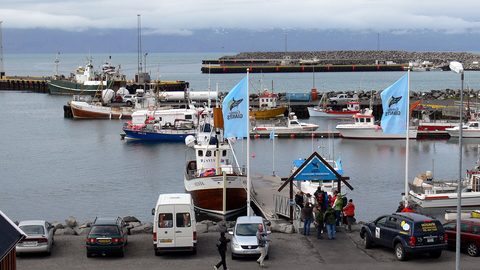 Husavik Whale Watching
Húsavík whale watching success rates peak in midsummer when humpbacks dominate the fjord, but the month you visit changes the species you are likely to see.
Husavik Whale Watching
Húsavík whale watching success rates peak in midsummer when humpbacks dominate the fjord, but the month you visit changes the species you are likely to see.
Common Questions
How many days do I need for North Iceland?
Minimum 7 days. Any less and you are only seeing the Reykjavik area or exhausting yourself on a rushed Ring Road sprint. For the Akureyri Myvatn Husavik loop alone, budget 3 full days.
When is the best time to visit North Iceland?
June to August. Midnight sun, all highland roads open, puffins nesting, and the driest weather. Avoid late December through January for anything beyond Reykjavik.
Is the Myvatn Nature Baths better than the Blue Lagoon?
For North Iceland, yes. Fewer crowds, lower cost, and a view over the lava field. The Blue Lagoon is a commercial product. Myvatn Nature Baths are a pragmatic alternative.
Do I need a 4x4 for the Diamond Circle?
Not for the standard route. Route 1 and the main roads to Godafoss, Myvatn, and Husavik are paved. The east side of Dettifoss requires a 4x4. Google Maps will route you onto F-roads without warning. Only 4x4 vehicles are legal and insured on them.
Can I see whales in Husavik in April?
Yes. The season runs April to October, but peak sightings are June through August. In April the water is colder and the rides are rougher. Book a morning tour for calmer seas.
What is the minimum daylight in North Iceland in winter?
Roughly 3 hours in late December. The average January temperature in Akureyri is -2.2 degrees Celsius. Mountain roads close. Drive only if you have experience with whiteout conditions.
What is the most common mistake on this route?
Trying to drive the entire Ring Road in 5 to 6 days. You end up behind the wheel the whole time and skip the detours. The Diamond Circle loop gives you density without exhaustion.
Read next
-
Lake Myvatn
A Mývatn day loop takes you from pseudocraters to boiling mud pots and ends at the geothermal nature baths, with fewer crowds than the Blue Lagoon.
-
Godafoss
Goðafoss is a wide horseshoe waterfall you can see from both banks in 30 minutes, with a café on the west side and a closer edge on the east.
-
Husavik Whale Watching
Húsavík whale watching success rates peak in midsummer when humpbacks dominate the fjord, but the month you visit changes the species you are likely to see.
-
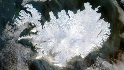 Akureyri
Plan your time in Akureyri with a guide that covers the town’s best cafes and gardens, plus day trips to the whale coast and Lake Mývatn.
Akureyri
Plan your time in Akureyri with a guide that covers the town’s best cafes and gardens, plus day trips to the whale coast and Lake Mývatn.
-
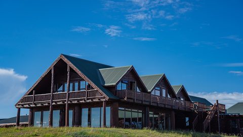 Iceland Accommodation Types from Farm Stays to Hostels
A hotel in rural Iceland rarely means what it means elsewhere. The real differences between guesthouses, farm stays, hostels and campsites before you book.
Iceland Accommodation Types from Farm Stays to Hostels
A hotel in rural Iceland rarely means what it means elsewhere. The real differences between guesthouses, farm stays, hostels and campsites before you book.
-
 Where to Stay in Iceland for a Ring Road Road Trip
On an Iceland lap, the road decides where you sleep. Which bases break the Ring Road into sensible chunks, and where inventory runs dangerously low in July.
Where to Stay in Iceland for a Ring Road Road Trip
On an Iceland lap, the road decides where you sleep. Which bases break the Ring Road into sensible chunks, and where inventory runs dangerously low in July.
-
 Keflavik Airport Flights Transfers and Iceland Domestic Routes
Keflavík to Reykjavík has no train. Flybus, taxi costs, rental car pickup, and when a domestic flight from Reykjavík City Airport saves a day of driving.
Keflavik Airport Flights Transfers and Iceland Domestic Routes
Keflavík to Reykjavík has no train. Flybus, taxi costs, rental car pickup, and when a domestic flight from Reykjavík City Airport saves a day of driving.
-
 Iceland Experiences Worth Booking and Those That Depend on Weather
Some Iceland experiences vanish if you don't book weeks ahead. Silfra, ice caves, and Landmannalaugar huts sell out. Waterfalls and beaches just need you to show up.
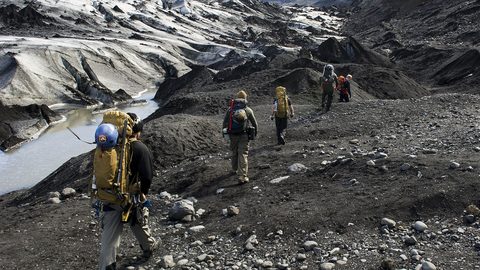
Iceland Experiences Worth Booking and Those That Depend on Weather
Some Iceland experiences vanish if you don't book weeks ahead. Silfra, ice caves, and Landmannalaugar huts sell out. Waterfalls and beaches just need you to show up.
-
 Best Time to Visit Iceland Month by Month With Daylight Hours
Iceland changes radically by month. This calendar covers daylight hours, road openings, puffin season, northern lights windows, and the two summer weekends that book out nationwide.
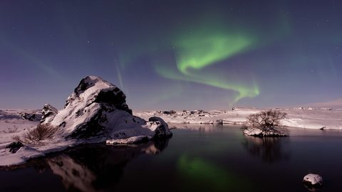
Best Time to Visit Iceland Month by Month With Daylight Hours
Iceland changes radically by month. This calendar covers daylight hours, road openings, puffin season, northern lights windows, and the two summer weekends that book out nationwide.