Iceland Road Closure Days How to Rebuild a Ring Road Plan
A practical guide to Iceland Road Closure Days How to Rebuild a Ring Road Plan.

How weather stops a Ring Road trip and what you can actually control
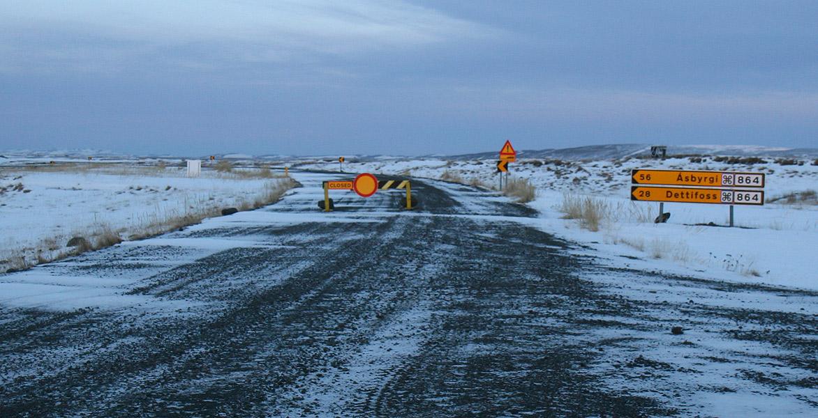
The Ring Road does not close for winter. That single sentence, confirmed by the Icelandic Road and Coastal Administration, rewrites a lot of bad advice. Route 1 is approximately 1,322 to 1,332 km of fully paved road, kept open year-round as the country's primary national artery, with maintenance and winter service running 24 hours a day. What does close are individual sections when a storm rolls through. Those closures typically last hours, occasionally a full day, and the road reopens as soon as conditions allow. The distinction matters because it shifts the planning problem from "will the road be open" to "where might I get held up and what do I do about it."
Three mountain-pass sections of Route 1 are the most prone to winter closure. The high moorland of Möðrudalsöræfi sits between Egilsstaðir and Mývatn, exposed and quick to deteriorate. Öxnadalsheiði is the pass that leads into Akureyri from the east. Holtavörðuheiði lies on the western leg between Akureyri and Reykjavík. These are not obscure backroads. They are the Ring Road itself, and when a low-pressure system sweeps across the island, one or more of these passes can become temporarily impassable. Knowing their names before you leave helps you read the road-condition map with context instead of panic.
Vegagerðin, the road administration, maintains a real-time platform at umferdin.is that colour-codes every road segment. The scale runs from "easily passable" through "slippery" and "difficult driving" to "impassable or closed." The same agency defines "storm conditions" on its map as sustained wind of 19 metres per second or gusts exceeding 26 metres per second, and "blizzard" as wind of 16 metres per second or more combined with snowfall. These are precise thresholds, and they are the ones the road crews use when deciding to close a pass. The Icelandic Meteorological Office issues its own weather warnings on a four-colour impact-based scale at vedur.is. That system uses an impact matrix rather than fixed wind-speed triggers, so a yellow warning in one region might reflect different wind speeds than a yellow warning elsewhere. The two systems complement each other: the Met Office tells you what is coming, and the road map tells you what that means for the asphalt.
The shortcut that disappears and the roads that never open
One of the most consequential winter routing decisions involves a road that is not part of the Ring Road at all. Route 939, known as the Öxi shortcut, runs between Djúpivogur and Egilsstaðir. It is an unpaved gravel road that closes or becomes impassable for much of winter. The winter alternative is the longer coastal Route 1 via Djúpivogur and Breiðdalsvík. A traveller who plans a summer-distance day and assumes the shortcut will be available can find themselves facing an extra hour or more of driving in conditions that already demand slower speeds. The official recommendation is to treat the coastal route as the default from November through April and to check the status of Route 939 only as a possible bonus, never as the plan.
Further inland, the F-road network is unambiguous. All F-roads are closed throughout winter and receive no winter service. This includes F35 Kjölur, F208 Landmannaleið, F26 Sprengisandsleið, and F206 Lakavegur. These are highland interior tracks, and their closure is absolute. No amount of favourable weather in Reykjavík changes the status of an F-road in February. The road administration does not plow them, does not patrol them, and does not reopen them until the spring thaw allows. If a mapping application suggests an F-road as a route during winter, the application is wrong.

How many days you actually need and where to put the slack
A summer Ring Road itinerary is commonly built around seven days. Vegagerðin states that a winter itinerary requires a minimum of ten days, with twelve to fourteen days recommended to absorb weather delays. The difference is not about driving slower, though that is part of it. The difference is about days when you do not drive at all because a pass is closed and the only correct decision is to stay put.
The official guidance also suggests keeping daily driving distances under 200 km in poor conditions and building at least two flexible buffer days into the schedule. A buffer day is not a rest day. It is a slot with no booked accommodation and no non-refundable activity, placed strategically after the sections where closures are most likely. Based on the three closure-prone passes, a practical distribution places one buffer day on the eastern side of the island, somewhere between Höfn and Egilsstaðir, and a second buffer day in the north, between Akureyri and the stretch leading toward Holtavörðuheiði. If neither buffer is consumed by weather, they become extra time in those regions. If a storm hits, they prevent a cascade of missed bookings.
This is an editorial recommendation drawn from the geography of the closure-prone passes and the official minimum-day figures. The trade-off is that a longer itinerary costs more in time and money. The alternative, a tighter schedule, works until a storm arrives and then forces difficult choices about which booked nights to forfeit. The buffer approach accepts the statistical likelihood of winter disruption and builds the schedule around it rather than hoping for a clear two-week window.
The tools that tell you whether to drive or wait
Three official platforms form the daily decision-making stack. The first is umferdin.is, the road-condition map maintained by Vegagerðin. It shows the colour-coded status of every road segment and is updated continuously. The second is vedur.is, the Icelandic Meteorological Office site, which displays weather warnings on the yellow-orange-red impact scale and provides wind-speed forecasts. The third is the Vegagerðin traffic service phone line, 1777 or +354 522 1100, staffed daily from 06:30 to 22:00. A phone call provides live information from someone who can interpret the map and forecast for your specific route. These three sources are the authoritative picture. Third-party weather apps and crowd-sourced reports are supplementary at best.
Before starting each driving leg, the minimum check is to open umferdin.is and look at the colour of every segment on the day's route, then cross-reference with the Met Office warning map for the same area. If any segment is marked "difficult driving" or worse, or if an orange or red warning covers the route, the recommendation is to delay departure. The pass will reopen. The storm will pass. The Ring Road is maintained 24 hours a day, and the crews work to restore access as soon as wind speeds drop below the closure thresholds.
What the law requires your car to have between November and April
From 1 November to 14 April inclusive, the legal minimum tyre tread depth for passenger cars in Iceland is 3.0 mm, compared with 1.6 mm for the rest of the year. Studded tyres are permitted during this window. From 15 April to 31 October, studded tyres are prohibited unless driving conditions specifically require them. These dates are set by regulation and are consistent year to year, but the exact calendar should be confirmed with the rental company and the Icelandic Transport Authority, Samgöngustofa, before travel. A rental car collected in Reykjavík in October may still be on summer rubber, and a car collected in late April may have had its studded tyres removed. Asking the rental company to confirm the tyre type and tread depth in writing before pickup is a low-effort step that eliminates a major source of winter driving risk.
Registering your plan so someone knows where to look
SafeTravel.is, operated by the volunteer search-and-rescue organisation ICE-SAR, provides a travel-plan submission system. Travellers can register their itinerary and contact details so that authorities have a starting point if an emergency occurs. The companion 112 Iceland app adds a layer of real-time location data: it can send a user's GPS coordinates to emergency services via SMS before a call is placed, and it supports periodic check-ins that create a location trail. Neither tool prevents a road closure or changes the weather, but both reduce the time it takes for help to arrive if a vehicle is stranded or a traveller is overdue. Submitting a travel plan takes a few minutes and can be updated if the itinerary shifts due to a closure.
Sources and verification
- vegagerdin.is — Research source checked for this guide
- visiticeland.com — Research source checked for this guide
- vegagerdin.is — Research source checked for this guide
- edit.road.is — Research source checked for this guide
- en.vedur.is — Research source checked for this guide
- vegagerdin.is — Research source checked for this guide
Read next
-
 Iceland Accommodation Types from Farm Stays to Hostels
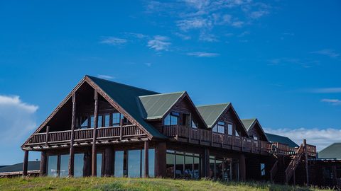
A hotel in rural Iceland rarely means what it means elsewhere. The real differences between guesthouses, farm stays, hostels and campsites before you book.
-
 Where to Stay in Iceland for a Ring Road Road Trip
On an Iceland lap, the road decides where you sleep. Which bases break the Ring Road into sensible chunks, and where inventory runs dangerously low in July.
-
 Keflavik Airport Flights Transfers and Iceland Domestic Routes
Keflavík to Reykjavík has no train. Flybus, taxi costs, rental car pickup, and when a domestic flight from Reykjavík City Airport saves a day of driving.
-
 Iceland Experiences Worth Booking and Those That Depend on Weather
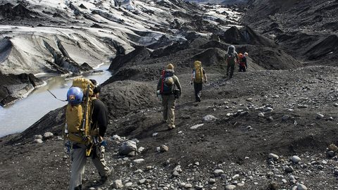
Some Iceland experiences vanish if you don't book weeks ahead. Silfra, ice caves, and Landmannalaugar huts sell out. Waterfalls and beaches just need you to show up.
-
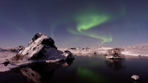 Best Time to Visit Iceland Month by Month With Daylight Hours
Iceland changes radically by month. This calendar covers daylight hours, road openings, puffin season, northern lights windows, and the two summer weekends that book out nationwide.
-
 Getting Around Iceland by Car F-Roads Wind and Road.is
Driving Iceland means understanding F-road legality, reading road.is, and respecting wind that can rip a door off its hinges. This guide covers what rental agencies won't tell you.
-
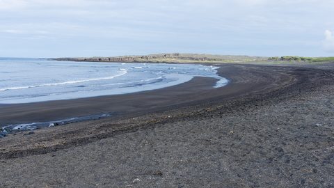 South Iceland
How to drive Iceland's South Coast from Seljalandsfoss to Skaftafell, with honest timings, parking logistics, and the stops worth pulling over for.
-
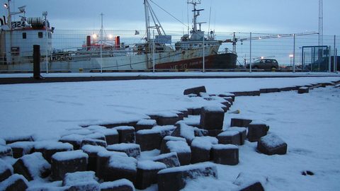 Capital Region
How to spend your arrival and departure days in Reykjavík, from the Miðborg walking loop to Vesturbær's local pools and the domestic airport at RKV.
-
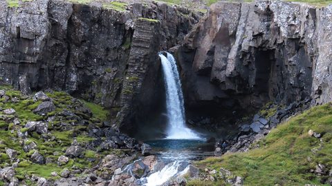 East Iceland
How to drive Iceland's Eastfjords from Höfn to Egilsstaðir, with stops at Vestrahorn, Stuðlagil Canyon, and the puffin colony at Borgarfjörður Eystri.